BAJA CALIFORNIA SUR

Day trips to
discover Baja.

Explore Los Cabos and wider Baja California Sur. Each destination identifies its area to help you plan.

A LITTLE FURTHER, A DIFFERENT BAJA

Oases, islands
& the open sea.

From Santiago’s lagoon and hot springs to Cabo Pulmo and Espíritu Santo: places that make living here feel like an ongoing discovery.

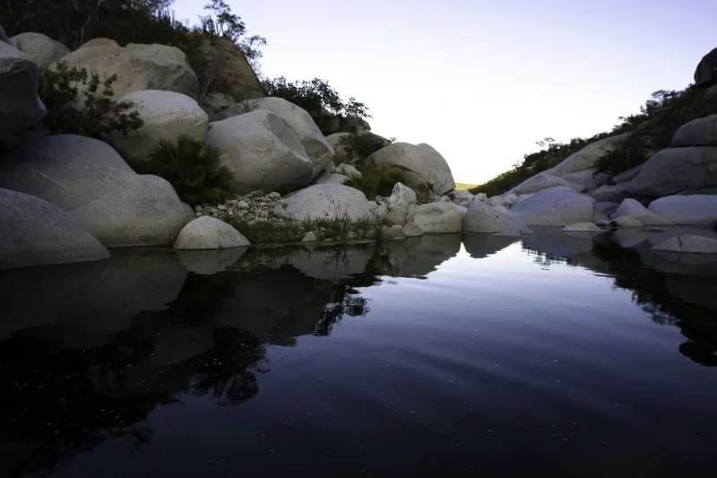
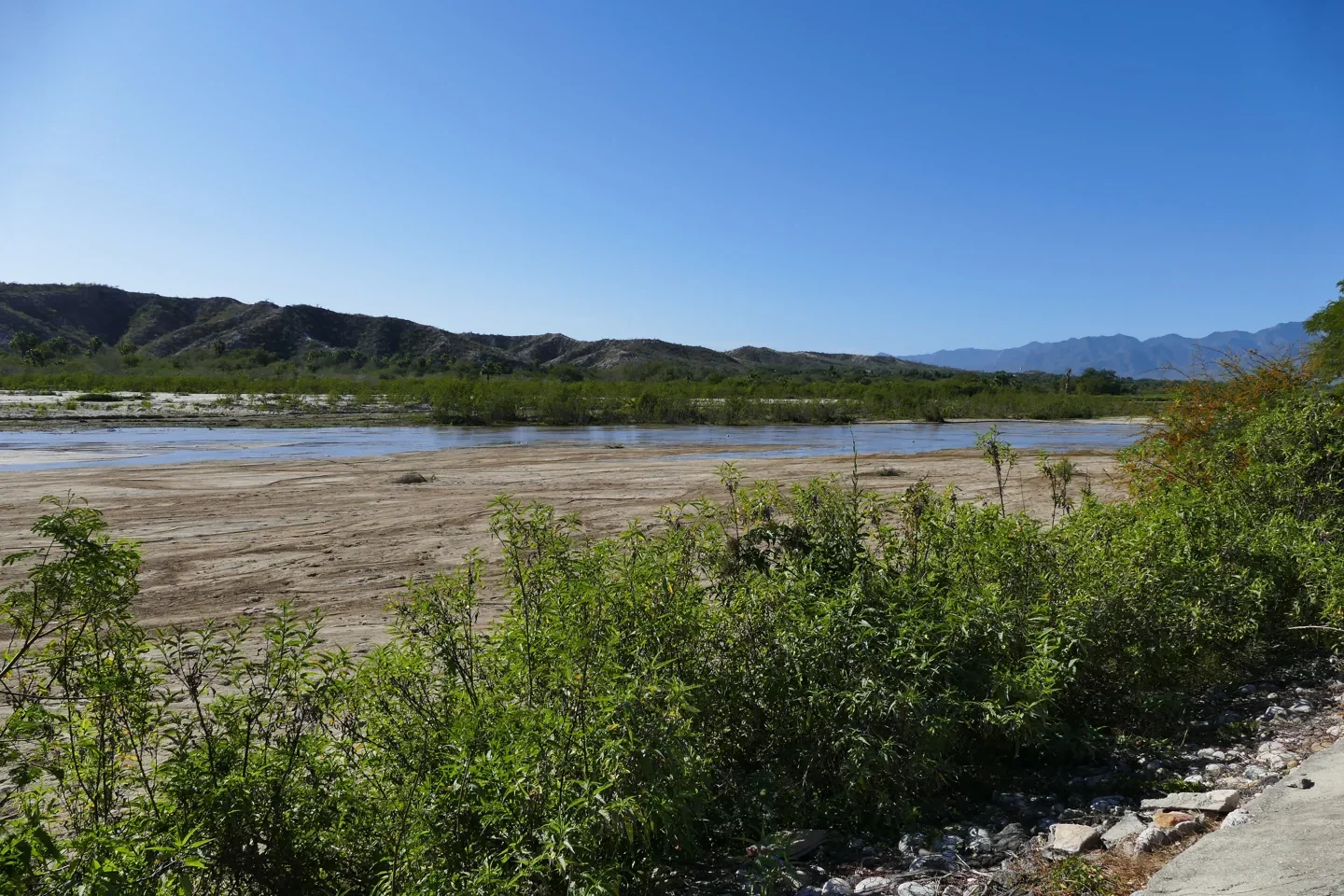
Santiago river and oasis
Santiago river and oasis© Peter Potrowl · CC BY-SA 4.0

Santiago · Los Cabos

Santiago Oasis & Lagoon

Palm trees, fresh water and a quieter village rhythm. Santiago’s oasis is a beautiful starting point for the rural side of Los Cabos.

Plan your visit

Start in Santiago’s village center, then explore the oasis viewpoints and nearby ranches. The photograph shows the Santiago river; access around the lagoon depends on local conditions.

Location & directions
Official destination guide

Natural hot springs · near Santiago

Santa Rita, El Chorro & Agua Caliente

Find a slower kind of escape in the natural hot springs around Santiago, at the foothills of the Sierra de la Laguna.

Plan your visit

These are different locations with separate access routes. Confirm road conditions, opening times and any admission charge locally. Bring drinking water and respect each ranch’s access rules.

Location & directions
Official destination guide

Waterfalls · Santiago area

Sol de Mayo & Cañón de la Zorra

A waterfall and mountain pools reveal another side of Baja’s desert landscape. Explore the trails of Rancho Ecológico Sol de Mayo.

Plan your visit

The waterfall is reached on foot from the ranch. Wear shoes with grip, confirm current access and ask about trail and water conditions before setting out.

Location & directions
Official destination guide
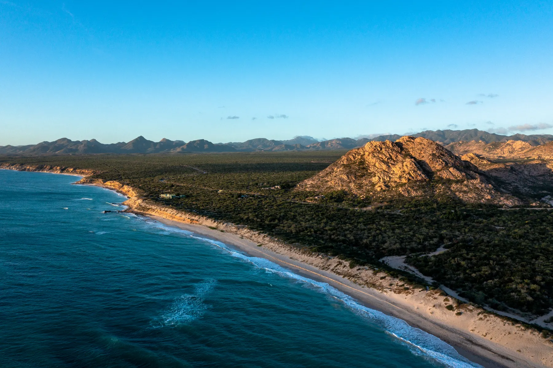
Cabo Pulmo coastline
Cabo Pulmo coastlineRamo · Pexels License

East Cape · protected marine park

Cabo Pulmo National Park

A small coastal village beside a protected coral ecosystem. Discover Cabo Pulmo through guided snorkeling or diving and time by the Sea of Cortez.

Plan your visit

Plan with an authorized local operator and follow park rules. Confirm sea conditions and access. Avoid touching coral or marine life and keep a respectful distance.

Location & directions
Official destination guide
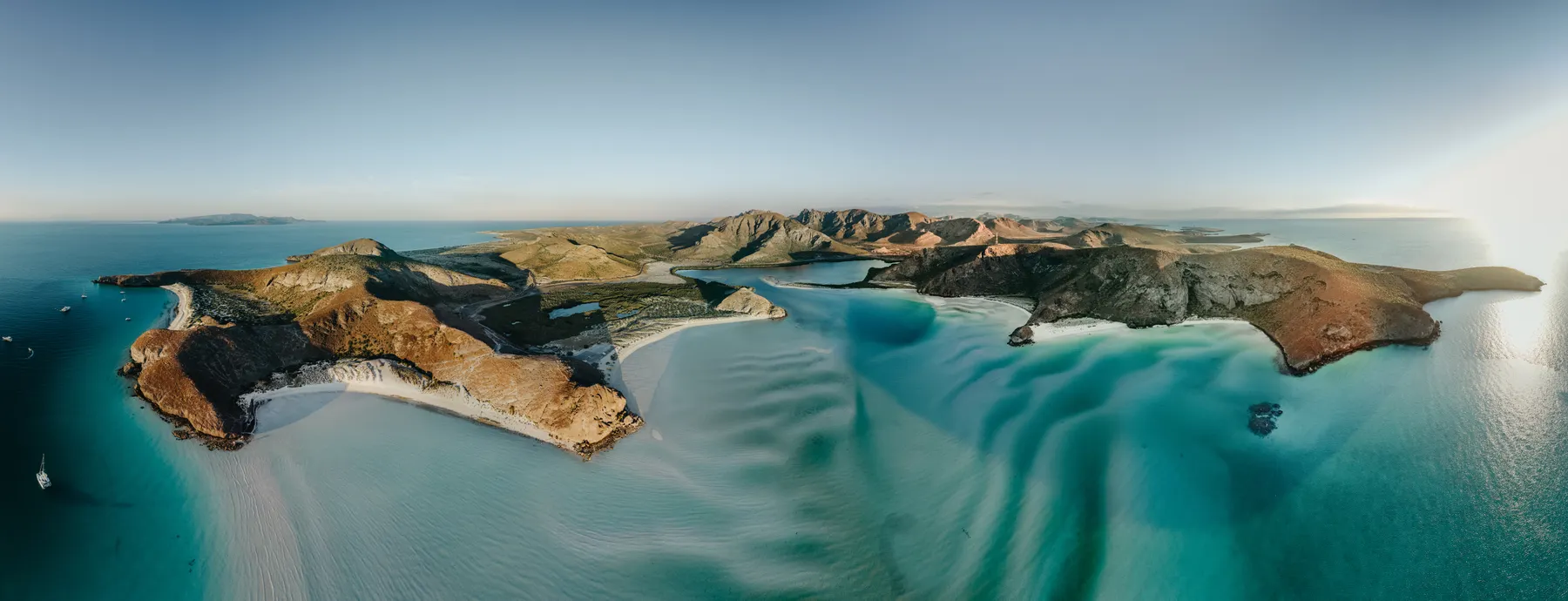
Isla Espíritu Santo coastline
Isla Espíritu Santo coastlineJosh Withers · Pexels License

Boat excursion from La Paz

Isla Espíritu Santo

Turquoise coves, rocky island landscapes and a protected marine setting. Espíritu Santo is a memorable escape from the coast of La Paz.

Plan your visit

Travel to La Paz and arrange a boat excursion with an authorized operator. Weather, conservation rules and seasonal restrictions determine which sites and activities are available.

Location & directions
Official destination guide
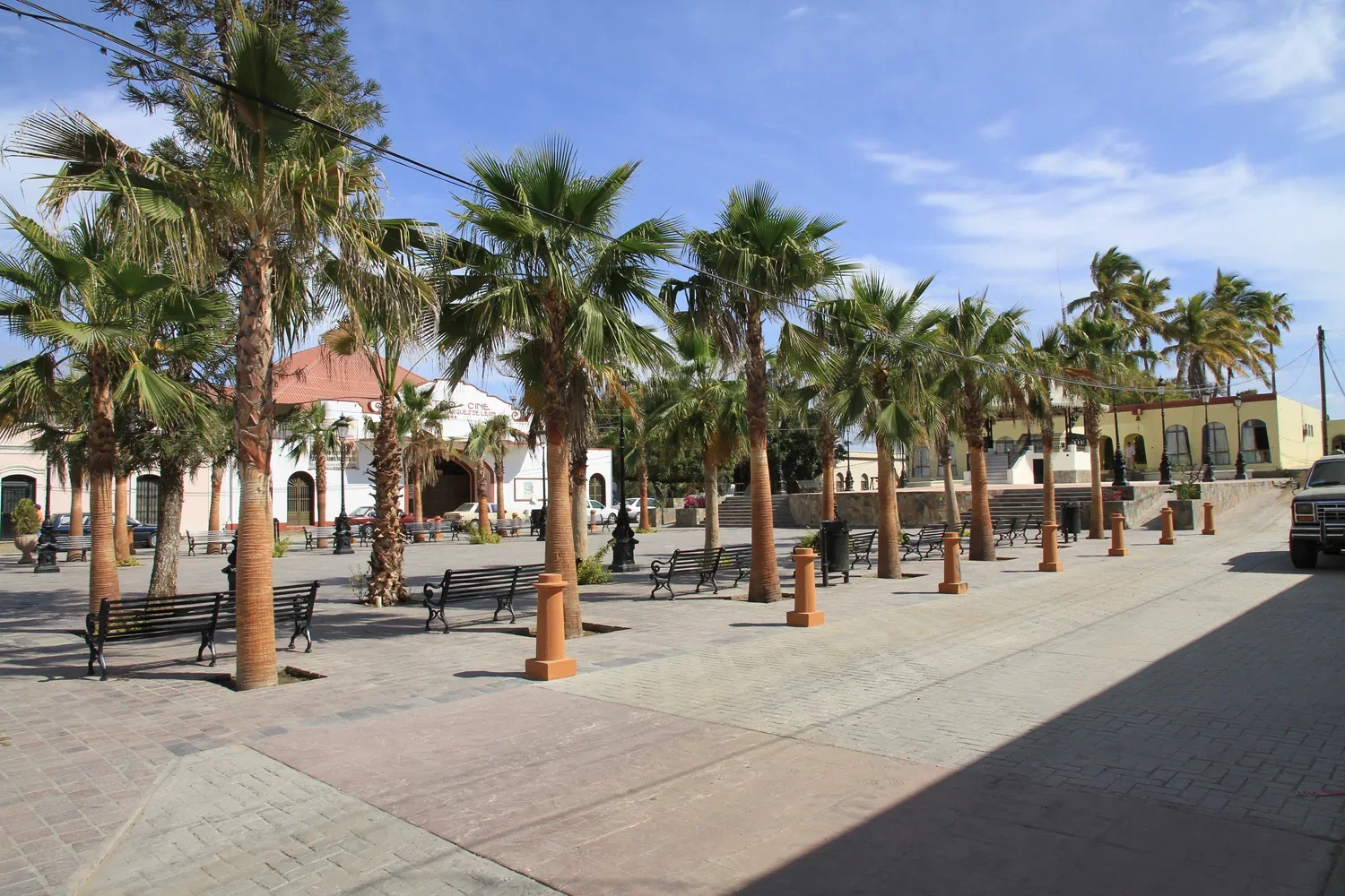
The plaza in Todos Santos
The plaza in Todos Santos · regional contextpanza.rayada · CC BY-SA 3.0

Pacific coast · La Paz municipality

Todos Santos

Galleries, cafés, local architecture and a creative small-town atmosphere. Spend a day exploring the streets of this Baja California Sur favorite.

Plan your visit

Explore the town center on foot, browse galleries and leave time for a meal. Plan the return journey separately from any beach or surf stop.

Location & directions
Official destination guide
East Cape coast near Cabo Pulmo
East Cape coast near Cabo PulmoFrancisco Reynoso · CC BY 3.0

Sea of Cortez coastline

The East Cape

Open landscapes, small coastal communities and a different pace. Explore the coast beyond the central Los Cabos corridor.

Plan your visit

Choose your coastal route before leaving and confirm road conditions, especially after rain. Bring water and plan fuel and supplies in advance.

Location & directions
Official destination guide

Santiago foothills · Los Cabos

San Dionisio Canyon

Ranch country, rocky canyons and freshwater pools reveal the quiet inland side of Los Cabos. Discover the area on a locally guided walk.

Plan your visit

Arrange access and a suitable route with a local ranch or guide. Water levels and trail conditions vary.

Location & directions
Official destination guide
Woodland in the Sierra de la Laguna
Woodland in the Sierra de la LagunaGerman Ortiz Landa 7 · CC BY-SA 4.0

Mountain country · southern Baja

Sierra de la Laguna Biosphere Reserve

Discover another Baja above the desert: oak and pine woodland, changing vegetation and mountain panoramas within a protected biosphere reserve.

Plan your visit

Choose a route with a qualified local guide. Confirm permits, weather and trail conditions; upper-mountain hikes require preparation.

Location & directions
Official destination guide
Street mural in Miraflores
Street mural in Miraflores© Peter Potrowl · CC BY-SA 4.0

Rural heritage · Los Cabos

Miraflores

Handworked leather, local crafts and a slower village rhythm make Miraflores a rewarding stop beyond the coast. Explore its streets and rural food traditions.

Plan your visit

Visit workshops when open, ask before photographing people at work and leave time for a local meal.

Location & directions
Official destination guide

Inland from Cabo San Lucas · Los Cabos

La Candelaria

A small rural community where ranching, traditional crafts and local history offer a different perspective on life in Los Cabos.

Plan your visit

Plan a respectful village visit with a local guide, confirm road conditions and ask about workshops and community activities.

Location & directions
Official destination guide

South of Cabo Pulmo · East Cape

Los Frailes Bay

A broad East Cape bay framed by desert hills and a fishing coastline. Combine a coastal walk with a visit to the Cabo Pulmo area.

Plan your visit

Confirm the coastal road and sea conditions. Ask locally about public access and any water activities before setting out.

Location & directions
Official destination guide
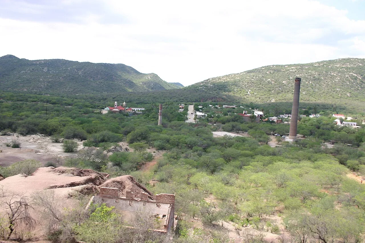
Historic mining chimneys in El Triunfo
Historic mining chimneys in El TriunfoEloy soberanis meza · CC BY-SA 3.0

Historic mining village · La Paz municipality

El Triunfo

Old mining chimneys, village streets and museums tell the story of Baja’s silver-mining past. A distinctive cultural stop in the mountains.

Plan your visit

Explore the village on foot and check museum opening times. Respect barriers around historic industrial structures.

Location & directions
Official destination guide

Near Todos Santos · La Paz municipality

Punta Lobos

Fishing pangas, dramatic cliffs and open Pacific scenery give Punta Lobos its unmistakable character. Visit for photography and a coastal walk.

Plan your visit

Give working fishing boats space. The surf can be strong; follow local guidance and use established trails.

Location & directions
Official destination guide
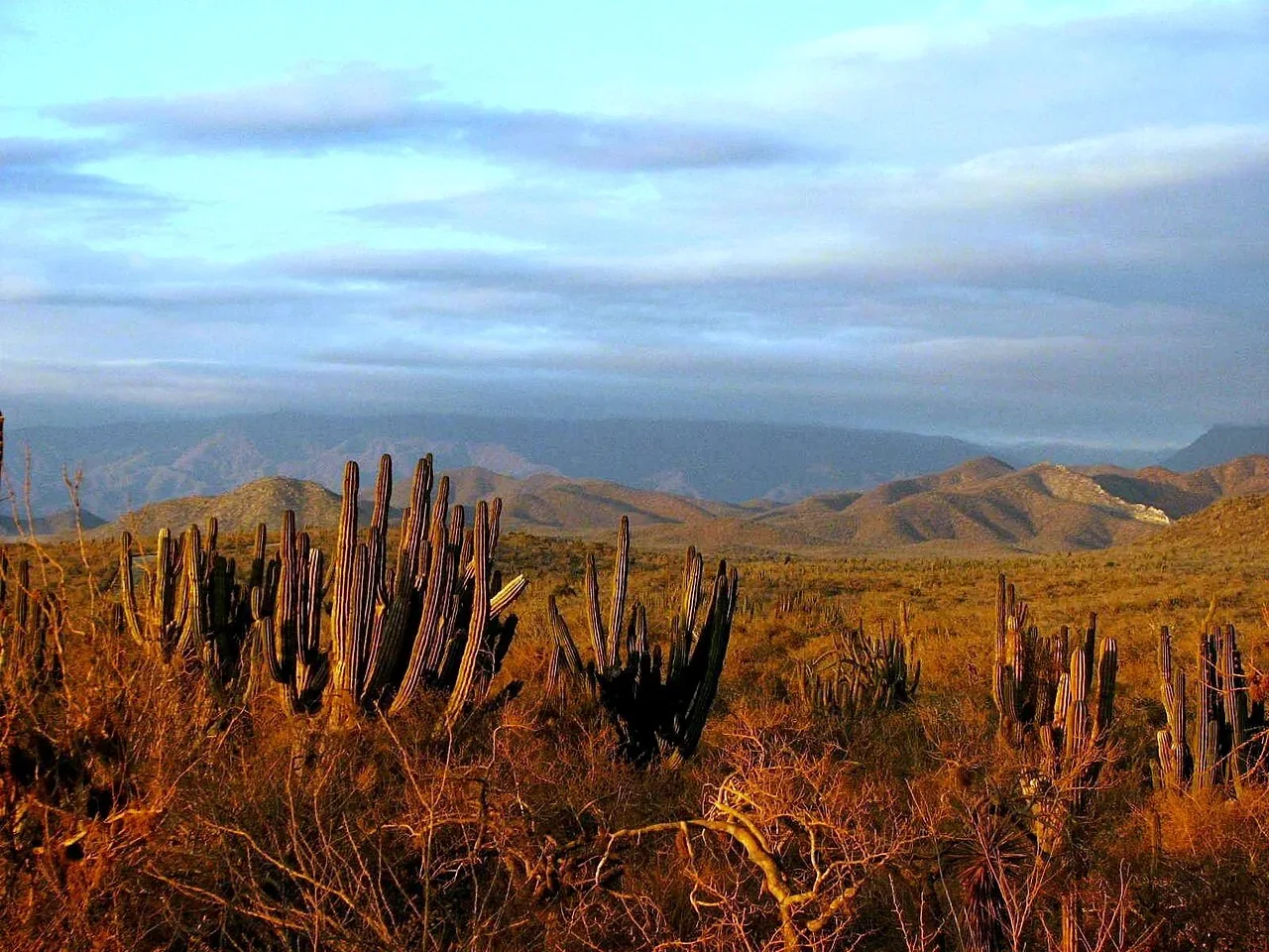
Desert landscape near El Pescadero
Desert landscape near El PescaderoAna Rodríguez Carrington from Baja California Sur, Mexico · CC BY 2.0

Pacific countryside · La Paz municipality

El Pescadero & San Pedrito

A rural coastal community with farm landscapes and the surf coast of San Pedrito nearby. Spend time exploring the slower side of the Pacific.

Plan your visit

Explore the village and coast as separate stops. Ask about beach access and current surf conditions; keep clear of private farmland.

Location & directions
Official destination guide

Los Planes area · La Paz municipality

Bahía de los Sueños / Ensenada de Muertos

A sheltered-looking Sea of Cortez bay where desert hills meet clear water and a fishing shoreline. A scenic stop beyond the main Cabo routes.

Plan your visit

Check road and sea conditions and ask locally about beach access, shade and water activities. Bring drinking water.

Location & directions
Official destination guide
Balandra, Baja California Sur
Balandra, Baja California SurJosué Rodríguez · Pexels License

Protected bay · near La Paz

Balandra

Turquoise shallows, mangroves and the famous mushroom-shaped rock make Balandra one of Baja California Sur’s distinctive natural landscapes.

Plan your visit

Access is managed to protect the bay. Confirm current entry arrangements with CONANP, follow marked routes and leave the shoreline undisturbed.

Location & directions
Official destination guide
San José del Cabo Estuary
San José del Cabo EstuaryThelmadatter · CC BY-SA 4.0

Protected wetland · San José del Cabo

San José del Cabo Estuary

A freshwater wetland near the coast offers a quieter view of San José del Cabo, with birdlife and a landscape shaped by water and vegetation.

Plan your visit

Ask about current public access and restoration restrictions. Observe birds from a distance and follow designated paths without disturbing the wetland.

Location & directions
Official destination guide

North of Los Barriles · La Paz municipality

Punta Pescadero

Rocky coves, clear-water views and open East Cape scenery reward a coastal trip beyond Los Barriles. A beautiful place to slow the day down.

Plan your visit

Confirm the coastal road before driving and ask about public beach access. Arrange snorkeling or kayaking according to local sea conditions.

Location & directions
Official destination guide

FROM LIFESTYLE TO YOUR NEXT HOME

Find the place that fits your life.

Compare communities, explore current homes and share your priorities with Usman and Bego.

WhatsApp Usman